Deleted
Deleted Member
Posts: 0
|
Post by Deleted on Apr 11, 2005 14:21:49 GMT -6
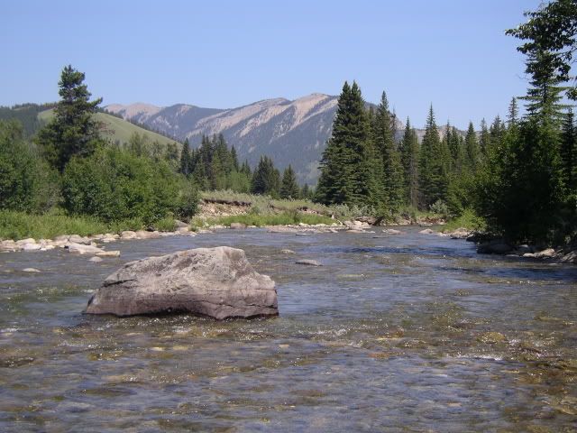
Dale's comments about satellite imagery reminded me of this closer-to-earth photo option. For anyone interested accessing free air photos for just about anywhere in MB, check the Manitoba Land Initiative site web2.gov.mb.ca/mli/index.htmlYou have to register first but, from that page, click on "download digital maps", then select the "Digital Imagery" option on that screen's menu. Then, take the "5 km tiles" option. You get a map of southern Manitoba where you can click on your area of interest, and work from the more detailed map provided. The photos are "tiled", which means that adjacent images will abut without any overlap. It can be fussy work to find your location and figure out the download proceedure but, hey, I figured it out and ya can't beat the price. The photos are about 1:25,000 scale (about 2.5" to the mile). You can download each photo as a .tif file that's about 5 meg in size, so you need a high speed connection. If you have a good printer, the resolution is very good. I've used them for all kinds of reconaissance, fishing and hunting...TIM |
|
stephenjay
Moderator  "Fish are too valuable to only catch once" - Lee Wulff
Posts: 677
|
Post by stephenjay on Apr 12, 2005 8:10:32 GMT -6
|
|
Deleted
Deleted Member
Posts: 0
|
Post by Deleted on Apr 13, 2005 8:22:56 GMT -6
Borked?
Thanks for the correction, Dale. The site's a pain to use, but free air photos are nice...TIM
|
|
|
|
Post by Dale Martens on Apr 17, 2005 20:27:17 GMT -6
Handy site to know, Tim. Thanks...
(By the way, that was Stephen who supplied the correction. I never had the foggiest notion about this place 'til your post.)
|
|
|
|
Post by elizard on Apr 20, 2005 7:22:44 GMT -6
|
|
|
|
Post by wcuff on May 18, 2006 13:30:25 GMT -6
Anyone know where I can download free lake depth charts for Mantoba. Thanks
|
|
Robert Burton
Fly Fishing Zombie
Eventually all things merge into one, and a river runs through it.
Posts: 4,744
|
Post by Robert Burton on May 18, 2006 14:17:54 GMT -6
I am pretty sure there are no topo or hydro maps for free.
Canada Map sales has both for a price.
|
|
|
|
Post by wcuff on May 24, 2006 16:10:19 GMT -6
|
|